- A new habitat mapping framework combines various data sets to visualize where species live, and predict potential habitats for the future.
- The Act Green project combines remote sensing with field data and inputs from experts to map habitat availability for four species.
- The data set can help conservationists identify areas that need immediate protection, as well as potential habitats that could be used for restoration and rewilding efforts.
Where are habitats available for threatened species? Are they improving or deteriorating? What landscapes could potentially be used for rewilding animals?
A new modeling framework has combined years of remote sensing, field data and inputs from experts to map habitat availability for four species and find answers to these questions.
The Act Green project, led by the Wildlife Conservation Society (WCS) and funded by NASA, has used these distinct data sources to visualize not only where species exist at present, but also to predict potential habitats to be considered for restoration and rewilding efforts. The updateable maps can help conservationists and ecologists identify areas that require urgent conservation attention while also pointing them in the direction of intact landscapes where species could be introduced.
“We are trying to integrate the richness of expert opinion with remote sensing and modern computational technology to get dynamic maps at very large spatial scales,” Gautam Surya, conservation planning scientist at WCS and co-principal investigator of the project, told Mongabay in a video interview.
Mapping a species’ range of habitats is crucial to understand its distribution and assessing where to direct funding for targeted conservation and species reintroduction efforts. It’s even more crucial against the backdrop of the Global Biodiversity Framework, which aims to protect 30% of the world’s ecosystems by 2030, a mission that requires nuanced data on available habitats around the world.
“Decision-makers need to figure out how to spend their very scarce resources most effectively and in real time,” Rachel Neugarten, executive director of conservation planning at WCS and co-principal investigator of the project, told Mongabay in a video interview. “These maps could point to places where, if landscapes were reconnected or species were introduced, there are potential bright spots.”
The work builds on previous efforts to map the habitats of tigers (Panthera tigris). The team has now expanded it to three other species — American bison (Bison bison), jaguars (Panthera onca) and African lions (Panthera leo) — that live in drastically different geographies and landscapes in order to validate the framework and assess its effectiveness.
The team used data from 2001 to 2020 to produce the maps. They started with satellite data on land cover and elevation, followed by a composite metric they developed to measure the impact of human activities on ecosystems. The latter, called the Human Footprint Index, is calculated using remote-sensed data on human populations, roads, agriculture, urbanization and night lights.
To this, they incorporated data provided by experts based on their fieldwork, helping them answer questions on the minimum size of land patches required for each species, and the size of patches big enough to support a viable population. They also looked at adjacent patches of suitable habitats to determine if these could be connected together and treated as a single landscape. Once the habitats were identified and delineated, the scientists brought in field data — like camera-trap images, poaching records and citizen science data — to see if the particular species had already been recorded in those habitats. “If the species is present there, we call those conservation landscapes,” Surya said. “If the species isn’t there, those are labeled restoration landscapes.”
Their efforts show there’s still plenty of hope for biodiversity conservation.
The team found that the projected habitat availability wasn’t as low as they’d expected it to be. “Just because habitats are stable doesn’t mean populations are stable,” Surya said. “But it’s still a cause for hope because we do know that habitat is ultimately really important because populations can recover.”
The data are already being used to make conservation decisions on the ground. WCS has been collaborating with partners and Indigenous communities in the U.S. and Canada to identify available grassland habitats for bison to plan and implement rewilding efforts. The maps are also likely to be used at next month’s summit of the Convention on the Conservation of Migratory Species, to be held in Brazil, to understand and assess jaguar habitats. Conservation organizations and NGOs working on tiger conservation are also using the maps as a tool for their fundraising efforts.
While the data set focuses only on these four charismatic megafauna, Neugarten said it has a wider impact on other species and the ecosystems they inhabit.
“They’re all large, wide-ranging species that need ecologically intact ecosystems full of other species for prey, and with healthy ecological processes to thrive,” she said. “So conserving these four species also conserves a lot of habitat for a lot of other wildlife that we care about.”
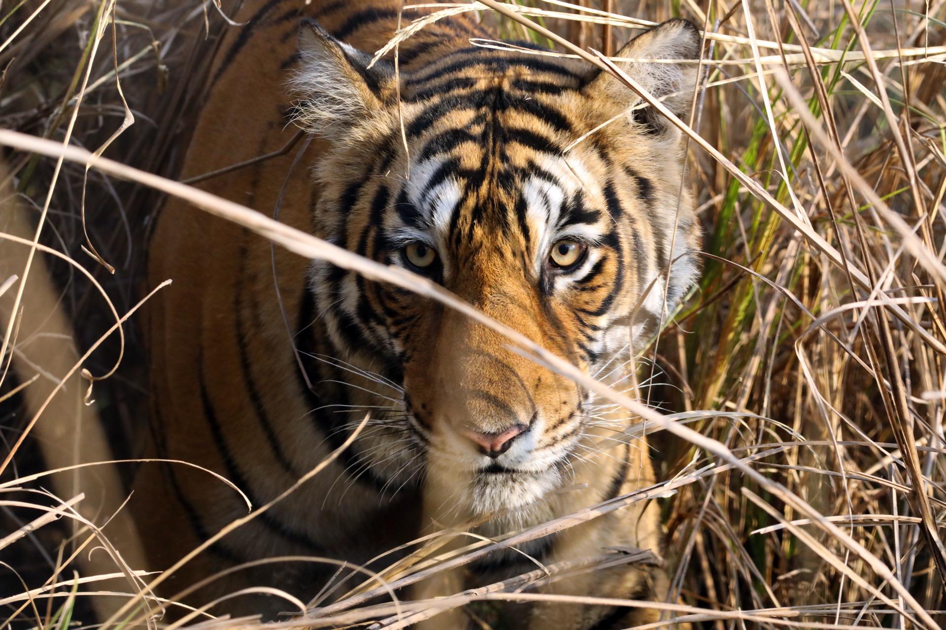
Banner image: A tigress in India. Image by Rhett A. Butler/Mongabay.
Abhishyant Kidangoor is a staff writer at Mongabay. Find him on 𝕏 @AbhishyantPK.